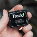
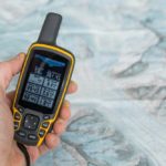
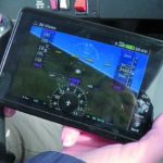
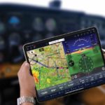
The term survey has different meanings when used in different contexts. One very common meaning is that surveying process involves measurement and mapping of a particular land area or a field. One of the most commonly used devices in surveying id GPS. Unlike old surveying techniques and methods, the GPS in the surveying process means less time, effort and of course, money. The following text will take a closer look at how GPS technology is implemented and used in the field of surveying.
Conventional surveying can be a very costly and time consuming process. Very often surveyors that use old and conventional surveying equipment or outdated surveying tools need to make multiple visits to one particular ground site in order to gather necessary data and also to ensure that data is accurate. They need to be well trained and educated when using complex conventional surveying equipment. Different weather conditions such as heavy rain or wind and snow can also cause delays in the process of surveying and gathering data directly from the field. That is why the surveying industry is beginning to recognize the importance of using new and state of art technology for collecting accurate data. Today, one very effective device which reduces time and labor effort is the GPS surveying.
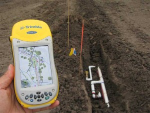
Normally, the surveying process involves several professionals who are skilled in using mechanical or electromechanical surveying tools and equipment for measuring and collecting accurate data for a particular property. Such equipment may include measuring tapes and ropes, compass, digital cameras, calculators and lot more. How accurate the data will is depends on the type of surveying equipment that is used in the process of surveying. Many difficulties like high costs and errors are eliminated when the surveyors use GPS based surveying equipment and tools. The GPS technology is a space based navigation program that helps surveyors worldwide by providing accurate and precise data such as three dimensional position, velocity, altitude, longitude, navigation and time data. GPS surveying process is supported by 24 satellites orbiting into the Earth’s atmosphere. With GPS, the surveying equipment and tools that are used receive signals and data directly from the satellites. This also means that surveyors do not need to wait for better weather conditions in order to gather accurate data, because GPS surveying equipment is not constrained by weather. The line of sight is no longer important for measuring and collecting data.
When used by skilled and experienced surveyors, GPS technology helps in collecting data with highest accuracy. The whole data collection process is much faster when compared with the conventional surveying techniques and methods. This way, GPS based surveying reduces the amount of time needed to collect data and number of surveyor needed to complete the process. The GPS technology supports the process of mapping and modeling the physical world, from mountains, hills, rivers, lakes to streets and buildings. The numbers got from measuring with GPS surveying equipment and tools, is displayed on various maps and in geographical information systems or GIS. The GPS technology is especially useful when surveying coasts and different waterways. Special survey vessels combine depth soundings with GPS positions in order to make nautical charts. Land surveyors can put GPS surveying systems in their backpacks or install them on vehicles. Many GPS surveying systems can communicate wirelessly with receivers in order to deliver continuous real time and accurate data. The ongoing GPS modernization will make the surveying process even more useful and efficient.


